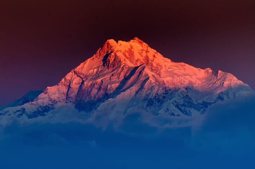
Kanchenjunga is the third highest peak in the world. Kanchenjunga is also called Kangchenjunga or Kinchinjunga. In Nepal, Kanchenjunga is often called Kumbhkaran Lungur. Joe Brown and George Band climbed Kanchenjunga for the first time on 25 May 1955.During the summer monsoon season, the mountain and its glaciers receive a lot of snow, and less snow during the winter. Four primary ridges connect each summit to its neighboring peaks, and four glaciers—the Zemu (northeast), the Talung (southeast), the Yalung (southwest), and the Kanchenjunga—flow from these ridges (northwest). The mountain was probably well-known to shepherds and traders for generations prior to a rough survey being undertaken since it is significant to local mythology and religious practice. The summit of Kangchenjunga may be reached through four different climbing routes, three of which originate in Nepal from the southwest, northwest, and northeast, and one from northeastern Sikkim in India. Only three times have attempted to take the Sikkim route from the northeast proven successful. This route has been closed since 2000 since the Indian government has outlawed expeditions to Kanchenjunga.

The Kangchenjunga region is not frequently visited by hikers because of its distant position in Nepal and the challenges involved in reaching there from India. As a result, much of its unspoiled beauty has been preserved. Trekking into the Kangchenjunga area is now legal in Sikkim as well. The Goecha La trip is becoming more and more well-liked among travelers. It travels to the Goecha La Pass, which is situated directly in front of Kangchenjunga’s enormous southeast face. Recently, another hike to Green Lake Basin became accessible. This hike follows the renowned Zemu Glacier to the northeastern flank of Kangchenjunga. Journey around Kangchenjunga is the subject of the movie Singalila in the Himalayas.
Table of Contents
ToggleHeight Of Kanchenjunga Mountain
The height of the Kanchenjunga mountain is 8586m (28,169 feet) sharing a border between NorthEast India state called Sikkim and eastern Nepal. Kanchenjunga Himal is surrounded by Tumur river, Lhonak Chu and Jongsang La, and in the east by the Teesta River. Kanchenjunga Himal was considered the highest mountain in the world in earlier days. In 1841 calculation and measurement were done by India. And calculations showed that Mount Everest which was called Peak IV is highest than Kanchenjunga. After proper verification in the year, 1856 Everest was declared the first, and Kanchenjunga was declared the third highest in the world.
Myths About Kanchenjunga Mountain
It is believed that Kanchenjunga Himal is the home of the mountain devil called Yeti in the Nepali language. Residents of the nearby Indian and Nepali countries have reported witnessing a strange monster prowling the Kanchenjunga mountains. A walking figure was seen in 1925 by a British expedition, which the locals said was the mountain’s devil. The mountain is said to be a dwelling place for the gods by the locals.

Kanchenjunga Climbing Routs
The approach on the Kanchenjunga expedition leads you to the eastern border of Nepal, traveling through uninhabited and desolate areas in the Arun valley before arriving at base camp. Kanchenjunga is the most distant 8,000-meter peak. One of Nepal’s most stunning routes, including the Kanchenjunga Conservation Area, is covered on the walk to base camp. The region is abundant in many types of flora, from farmed fields to dense woods. Additionally, it is the habitat of spectacular species like the red panda and the snow leopard. A portion of the sacred Himalayan landscape includes the Conservation Area. It is one of the longest horizontal climbs over 8,000 meters and complicated mixed climbing at first that make Kanchenjunga a particularly challenging peak. Probably because of this, Kanchenjunga gets very little traffic while being the third-highest peak in the world. Because the adventure will span over 10 weeks, you need to account for the shifting weather patterns. Make sure you are prepared for snowstorms before you leave, as there is a lot of snowfall during the summer monsoon season. The snowfall is less disruptive in the winter. However, the weather at Kanchenjunga may be very changeable.
Kanchenjunga Base Camp
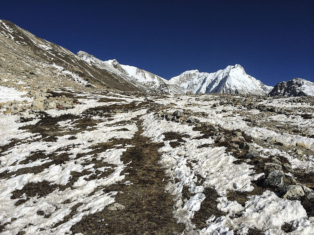
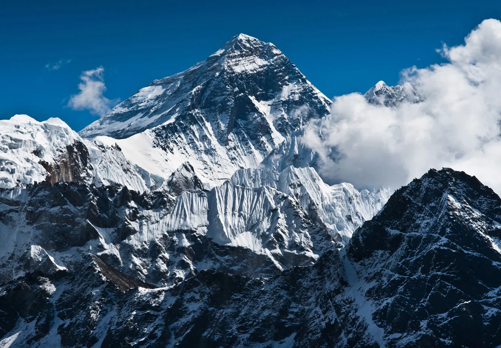
The Arun valley, one of Nepal’s most gorgeous hiking destinations, is traversed on the journey to Kanchenjunga Base Camp. One of the primary features of this hike is the 2035 square kilometer Kanchenjunga Conservation Area. Numerous plants and animals may be found in the region, including the Himalayan black bear, musk deer, snow leopard, red panda, and many more species of wildlife. Landscapes along the path to basecamp range from subtropical trees to alpine grasslands, low river valleys to glacial moraines, and stony scree slopes. Throughout the walk, hikers may take in the breathtaking panoramic view of the tall mountain peaks, including Makalu, Kanchenjunga, Lhotse, and Everest.
The hike starts at Taplejung, which is reached after a 45-minute flight from Kathmandu to Bhadrapur and a further trip by car to Birtamod and Taplejung. The general schedule for the entire expedition is shown here, and we start by visiting the north base camp.

How long does it take to climb Kanchenjunga?
- Days 1 to 3: Arrive in Kathmandu, take a break, then fly to Biratnagar and drive to the trek’s starting point.
- Trek to the Kangchenjunga base camps from days 4 to 24.
- Days 25 and 26: Return to Kathmandu, have a day off, then leave for home.
The North and South Base Camps are visited on this tour of Mount Kanchenjunga. Before the majority of Kanchenjunga itself is visible, the journey starts by approaching the mountain’s north flank, from which you may get fantastic views of Tent Peak, Nepal Peak, and Cross Peak.
